Archaeological Site Name: Marib Dam
Date: Archaeological discoveries estimate the date of its construction to the beginning of the first millennium BC.
Location: Coordinates 15°23′00″N 45°14′00″E. It is located in the city of Marib, the capital of the Sheba civilization.
Components: Stones carefully carved from the rocks of the surrounding mountains were used as the building blocks of the dam, and gypsum was used to connect the carved stones to each other. Cylindrical rods of copper, lead, and bronze, were used as foundation support.
History:
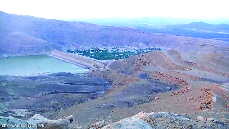
The Marib Dam is one of the most ancient engineering wonders in the world, and one of the oldest water dams in ancient times. The archeology in the dam area indicates agricultural systems near Ma’rib that date back to the fourth millennium BC. It is mentioned in ancient scripts as “Arman” according to the archaeological inscriptions next to the dam. It is written in the Sabean Musnad script, and it has been restored several times, the last of which was in the mid-fifth century AD.
The height of the dam wall is about 15 meters, and this wall - built of mud, stone, and iron- extends at an obtuse angle from south to north with a width of about 650 meters, its length is 577 meters, and its width is 915 meters. Researchers estimate that the old Ma'rib dam irrigated about 98,000 square kilometers of agricultural land and fields.A modern dam was built in the eighties of the twentieth century close to the site of the old dam.
